Getting around Singapore from the northern residential areas requires knowledge of the various transportation networks available. For newcomers and long-time residents alike, understanding the connectivity options can save precious commuting time and provide convenience for daily travel needs. Residents and visitors to springleaf-residences.com.sg benefit from the strategic location that offers multiple public transportation choices. Whether heading to work in the Central Business District or exploring weekend entertainment spots, familiarity with these options ensures smooth journeys throughout the island.
MRT connections that matter
The Thomson-East Coast Line (TEL) is the most valuable transportation assets for residents in the Springleaf area. This relatively new addition to Singapore’s rail network has transformed connectivity to central and eastern parts of the island. The Springleaf MRT station, within walking distance of nearby residential developments, provides direct access to this line. Travel times have decreased dramatically with the TEL’s operation. These reduced travel durations make central locations much more accessible than before the line’s completion. Weekend trips to the East Coast or Thomson areas have also become more straightforward, eliminating the need for multiple transfers that were previously necessary. The TEL connects seamlessly with other MRT lines at interchange stations like Woodlands, Caldecott, and Outram Park.
Bus routes for every destination
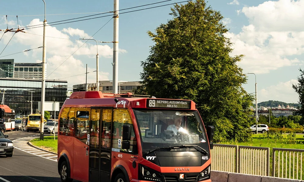
The bus network complements the MRT system perfectly, offering routes that reach locations not directly served by the rail network. For residents near Springleaf, several key bus services operate through the area:
- Service 167 – Connects to Sembawang and Bukit Merah
- Service 169 – Provides access to Woodlands and Ang Mo Kio
- Service 860 – Links to Yishun and Khatib areas
- Service 980 – Reaches educational institutions in the north
- Premium bus services that offer direct routes to CBD during peak hours
The frequency of these services during peak hours ensures minimal waiting times, typically between 5-10 minutes. During off-peak hours, the waiting time extends to approximately 10-15 minutes, providing reasonable service levels.
Cycling paths for eco-friendly commutes
The North-South Corridor cycling route has created excellent opportunities for short-distance travel by bicycle. This network connects residential areas to nearby amenities and transportation hubs, making cycling a practical option for daily commuting. The cycling infrastructure includes dedicated paths that separate cyclists from vehicular traffic, enhancing safety for all road users. These paths feature proper lighting for evening rides and connect seamlessly to park connectors for extended journeys. Bicycle parking facilities at MRT stations and major bus interchanges allow for combined travel modes, solving the “last mile” challenge that often discourages public transportation use.
Planning multi-modal journeys
Transportation apps have revolutionized how residents plan their journeys across Singapore. These digital tools provide real-time information on:
- Arrival times for buses and trains
- Service disruptions or delays
- Optimal routes combining different transportation modes
- Fare estimates for various options
- Walking directions to nearest stops or stations
Combining different modes of transportation often proves the most efficient. For example, taking a short bus ride to the MRT station and then continuing by train can save time compared to longer bus-only journeys. Similarly, cycling to transportation hubs extends the reach of public transportation networks.
Transportation cards make transitions between different services seamless, eliminating the need for separate tickets and providing fare discounts for transfers within a specified timeframe. This integration encourages public transportation by making it more convenient and cost-effective for daily commuters.


